Published: July 5, 2025.
After days of relentless rain, parts of Central Texas, including the Texas Hill Country, are grappling with dangerous flooding conditions. One major point of concern is Canyon Lake, a scenic reservoir near New Braunfels that is now under close watch due to fast-rising water levels in the Guadalupe River.

But what’s really happening at Canyon Lake? Is there a real risk of flooding? Should local residents be worried? Let’s break it down simply, like we’re explaining it to a group of curious middle schoolers—but without missing the facts.
Where is Canyon Lake and Why Is It Important?
Canyon Lake is a large man-made lake formed by the Canyon Dam, which was built starting in 1958 and began holding water by 1964. Today, the lake covers over 8,200 acres and has 60 miles of shoreline. It plays a big role in flood control, water storage, and fun activities like boating and fishing.

More than just a pretty lake, it helps protect nearby towns like New Braunfels and parts of Comal County from flooding by catching and holding back water from the Guadalupe River, especially during heavy rains.
What’s Happening Now?
Right now, the Guadalupe River is flooding—and that’s a big deal. Kerr and Kendall counties have already seen serious flooding. Six people have lost their lives, and families have been asked to evacuate. Camps near the river are missing campers, including Camp La Junta, Camp Waldemar, and Mystic River Camp. Authorities are still searching.
Meanwhile, the stormwater is moving downstream towards Canyon Lake.
How Full Is Canyon Lake Level Right Now?
To understand if the lake might flood, we need to look at something called the “spillover level.” This is the height at which the lake starts to overflow.
- Flood spillover level: 943 feet above sea level
- Current water level: About 910 feet (as of July 5)
- Buffer remaining: Around 33 feet
So technically, there’s still space for more water, and officials are keeping a close eye on it.
But water is coming in fast, and if it keeps raining or if more water flows in from upstream rivers, that space could shrink.
Why Is This Serious?
Canyon Lake sits in a low-lying area. While it has a pretty good capacity to hold water, it also means that if things go wrong, water can spill over and cause flash floods very quickly.
Also, when the dam was designed, it included gates to release water if levels get too high. But these releases can also impact the communities downstream.
The U.S. Army Corps of Engineers, which manages Canyon Dam, has confirmed that they will not release water unless the elevation exceeds 909 feet. As of now, they’re monitoring everything carefully.
What About the Weather Now?
Thankfully, the rains have shifted south of the Canyon Dam area. This means less rainfall is expected around the lake itself. Most of the current water increase is coming from what has already flowed into the Guadalupe River.
The worst of the storm may be over, but runoff water is still traveling through the region.
Is Canyon Lake Likely to Flood?
Short answer: Not right now, but the situation is being watched very carefully.
- There’s still room before the lake hits the flood level.
- The rain has eased in the area.
- Authorities are ready to act if anything changes.
How Has Canyon Lake Changed Over the Years?Fun fact: Over the past 25 years, the water level at Canyon Lake has gone through highs and lows:
- Lowest level: 885 feet (in 2024, due to drought)
- Average level: Around 906 feet
- Highest level: 950 feet (during the 2002 flood)
So the lake can handle a lot, but floods like in 2002 have shown how fast things can escalate.
Also Read:
What Are Local Authorities Doing?
Authorities have already issued warnings in areas like Kerr County and parts of Comal County:
- Evacuations ordered in flood-prone areas
- Emergency services are on standby
- River camps and communities have been advised to avoid floodwaters
- Roads closed and monitored for washouts
If you’re in the area, follow updates from the Guadalupe-Blanco River Authority (GBRA) and City of Kerrville.
What Should You Do If You’re Nearby?
Here’s a quick checklist:
- ✅ Stay tuned to official alerts (NOAA, local news, GBRA)
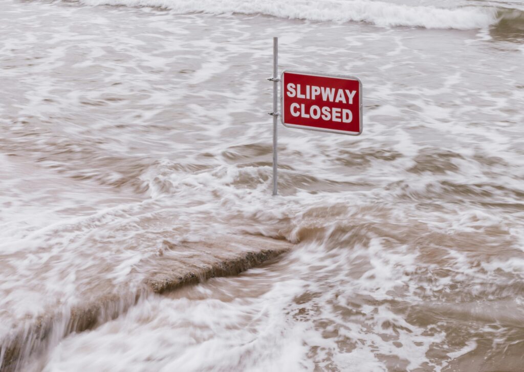
- ✅ Don’t drive into flooded roads—“Turn Around, Don’t Drown” is real!
- ✅ If you’re near the lake or river, move to higher ground
- ✅ Avoid the water—it may look calm, but it could sweep you away
What Comes Next?
Officials will keep watching the lake’s level and act only if things get worse. If the lake gets too full, they may release water, but only in controlled ways. The next few days will be crucial.
Meanwhile, locals are hoping that the lake doesn’t overflow and that the missing campers are found safe.
Bottom Line
Canyon Lake is safe for now, but it’s under pressure. The rain may have stopped, but the effects are still flowing. Local communities are bracing for any surprises. And as always, Mother Nature reminds us that she’s in charge.
We’ll continue monitoring the situation and updating this article if anything changes.
Stay safe, Texas.
For more updates, follow @TheGreyPost.